
1. Master Elevation Overview: From Lukla to Kala Patthar
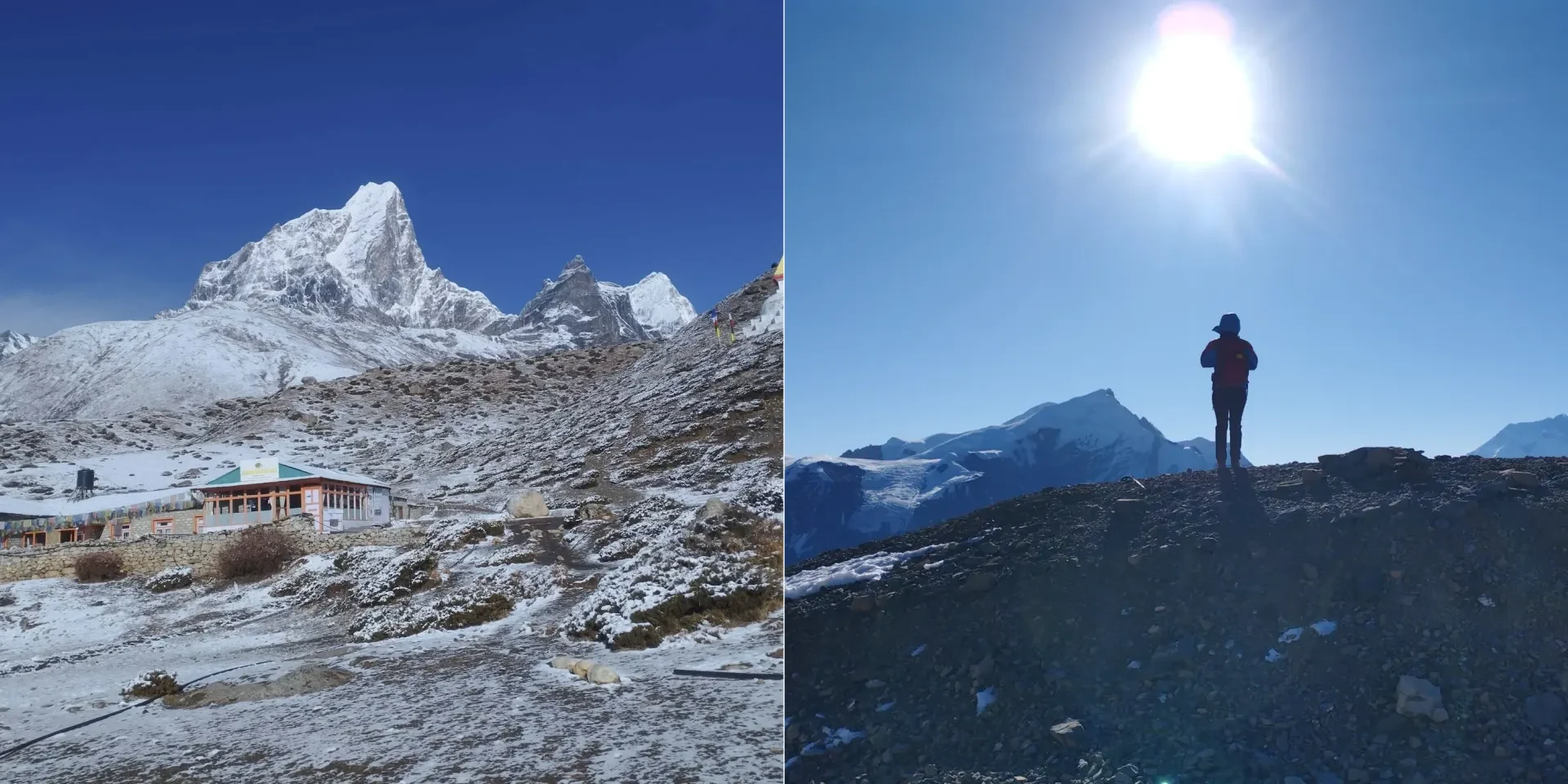
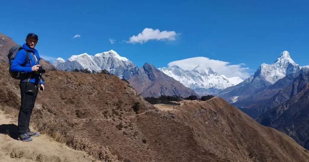
The journey to Everest Base Camp (EBC) represents one of the world's most dramatic terrestrial elevation gains accessible to non-technical walkers. Over the course of 8 to 9 days of climbing, you travel from the lush, temperate river gorges of the lower Solukhumbu (2,600m) into the stark, oxygen-starved Arctic tundra of the high Himalayas (5,545m).
Understanding altitude is the single most critical factor determining whether you reach Base Camp safely or end up on an emergency medical evacuation flight. Altitude is not an obstacle to be conquered with willpower; it is a profound biochemical environment that demands respect, scientific patience, and disciplined acclimatization.
"A common myth is that the air at Everest Base Camp contains 'less oxygen percentage.' In reality, the air everywhere on Earth consists of roughly 20.9% oxygen. What changes is barometric pressure. Because the column of air above you is thinner, the air molecules are spread apart. Each breath brings in half the volume of oxygen into your lungs, forcing your heart and respiratory system to work twice as hard." — Ang Tshering Sherpa, 5x Everest Summitter
2. Elevation, Barometric Pressure & Oxygen Availability Table
Here is the complete scientific breakdown of every major settlement along the Everest Base Camp trail, showing the exact elevation in meters and feet, estimated barometric pressure, and effective oxygen percentage relative to sea level:
| Location / Checkpoint | Altitude (Meters) | Altitude (Feet) | Barometric Pressure (hPa) | Effective Oxygen vs. Sea Level | Altitude Classification |
|---|---|---|---|---|---|
| Sea Level (Baseline) | 0 m | 0 ft | 1,013 hPa | 100% | Sea Level |
| Kathmandu (Capital) | 1,400 m | 4,593 ft | 860 hPa | 85% | Low Altitude |
| Lukla (Airport) | 2,846 m | 9,337 ft | 725 hPa | 72% | Moderate Altitude |
| Phakding (Night 1) | 2,610 m | 8,563 ft | 745 hPa | 74% | Moderate Altitude |
| Namche Bazaar (Sherpa Capital) | 3,440 m | 11,286 ft | 675 hPa | 67% | High Altitude |
| Hotel Everest View (Syangboche) | 3,880 m | 12,730 ft | 640 hPa | 63% | Very High Altitude |
| Tengboche Monastery | 3,867 m | 12,687 ft | 641 hPa | 63% | Very High Altitude |
| Dingboche (Upper Acclimatization) | 4,410 m | 14,469 ft | 595 hPa | 59% | Very High Altitude |
| Nangkartshang Peak (Acclim Viewpoint) | 5,080 m | 16,667 ft | 548 hPa | 54% | Very High Altitude |
| Lobuche (Glacial Outpost) | 4,940 m | 16,207 ft | 558 hPa | 55% | Very High Altitude |
| Gorak Shep (Final Teahouses) | 5,164 m | 16,942 ft | 542 hPa | 53% | Very High Altitude |
| Everest Base Camp (EBC Target) | 5,364 m | 17,598 ft | 528 hPa | 52% | Very High Altitude |
| Kala Patthar (Highest Viewpoint) | 5,545 m | 18,192 ft | 516 hPa | 50.5% | Extreme Altitude |
| Mount Everest Summit | 8,848.86 m | 29,031.7 ft | 314 hPa | 31% | Death Zone (>8,000m) |
3. The Medical Altitude Zones: High, Very High & Extreme
High-altitude medicine categorizes mountain terrain into four distinct clinical zones:
High Altitude (1,500m – 3,500m)
- Trail Markers: Lukla (2,846m) and Namche Bazaar (3,440m).
- Body Response: Heart rate accelerates during exertion; respiration rate increases; minor sleep disruption is normal.
- Medical Risk: Acute Mountain Sickness (AMS) can occur if climbing too fast, but severe emergencies are rare.
Very High Altitude (3,500m – 5,500m)
- Trail Markers: Tengboche (3,867m), Dingboche (4,410m), Lobuche, and Everest Base Camp (5,364m).
- Body Response: Severe hypoxemia during exertion; resting oxygen saturation drops to 75%–85%; periodic breathing during sleep.
- Medical Risk: High risk of severe AMS, HAPE, and HACE if acclimatization rules are violated.
Extreme Altitude (above 5,500m): Kala Patthar (5,545m) crosses into the extreme altitude boundary. Here, long-term human acclimatization is physiologically impossible—the human body deteriorates faster than it adapts. You visit Kala Patthar for 30 to 45 minutes to enjoy the sunrise and immediately descend to sleep at lower elevations.
4. The Myth of the Flat Walk: Cumulative Elevation Gain & 'Nepali Flat'
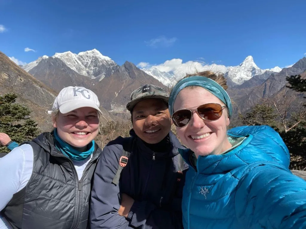
If you calculate the net elevation difference between your starting point at Lukla (2,846m) and Everest Base Camp (5,364m), the simple mathematical rise is 2,518 vertical meters (8,261 feet).
However, because Himalayan trails follow natural river gorges and mountain ridges, the trail is never a continuous upward ramp. Guides in Nepal frequently joke about "Nepali Flat": "a little bit up, a little bit down."
For example, on Day 4 between Namche and Tengboche, you walk across a scenic high contour, plunge 300 vertical meters down to the bridge at Phunki Thenga (3,250m), and immediately climb 450 vertical meters up to Tengboche Monastery (3,867m). Over the entire 130km round-trip trek, your GPS watch will record an astonishing +5,500 to +6,000 meters (+18,000 to +20,000 feet) of cumulative elevation gain!
5. Physiological Acclimatization: What Happens Inside Your Body
When you land in Lukla, your carotid body chemoreceptors sense decreased oxygen pressure in the bloodstream. Within minutes, your body triggers several cascade physiological defenses:
- Hypoxic Ventilatory Response: You begin breathing faster and deeper, even while resting or sleeping.
- Renal Bicarbonate Excretion: Hyperventilation blows off excess carbon dioxide (CO2), causing respiratory alkalosis (blood becomes too alkaline). Within 24 to 48 hours, your kidneys excrete bicarbonate in urine to restore optimal blood pH, allowing you to continue breathing deeply.
- EPO and Red Blood Cell Production: Within hours of arriving in Namche Bazaar, your kidneys produce erythropoietin (EPO), signaling your bone marrow to manufacture millions of new hemoglobin-rich red blood cells to transport oxygen.
- Increased Capillary Density: Over several days, tiny micro-capillaries expand inside your muscle tissues to shorten the diffusion distance of oxygen to working cells.
6. Pulse Oximeter Benchmarks: What Is a 'Normal' Reading on Trail?
Every morning and evening in the teahouse dining hall, Igloo Himalaya Treks guides take pulse oximeter readings on every trekker's index finger to record heart rate and SpO2 (blood oxygen saturation):
| Location & Altitude | Healthy SpO2 Range | Caution Zone (Monitor Closely) | Danger Zone (Immediate Action) |
|---|---|---|---|
| Sea Level / Kathmandu (1,400m) | 96% – 99% | Below 92% | Below 88% |
| Namche Bazaar (3,440m) | 88% – 93% | 80% – 85% | Below 75% |
| Dingboche (4,410m) | 82% – 88% | 74% – 79% | Below 70% |
| Lobuche (4,940m) | 76% – 84% | 68% – 74% | Below 65% |
| Gorak Shep & EBC (5,164m – 5,364m) | 72% – 80% | 64% – 70% | Below 60% (Descent required) |
Note on Cold Fingers: Freezing hands cause peripheral vasoconstriction, which can produce false low readings on oximeters. Always rub your hands together or warm your fingers inside your down jacket pocket for two minutes before clipping the device.
7. The Lake Louise Scorecard: Diagnosing Altitude Sickness
Physicians worldwide use the standardized Lake Louise Scorecard to diagnose Acute Mountain Sickness (AMS). A diagnosis requires a recent altitude gain, the presence of a headache, and at least one other symptom:
| Symptom Category | Score 0 (None) | Score 1 (Mild) | Score 2 (Moderate) | Score 3 (Severe) |
|---|---|---|---|---|
| Headache | None | Mild headache | Moderate headache | Severe, incapacitating headache |
| Gastrointestinal Symptoms | Good appetite | Poor appetite or mild nausea | Moderate nausea or vomiting | Severe, persistent vomiting |
| Fatigue / Weakness | Normal energy | Mild fatigue | Moderate fatigue on exertion | Severe exhaustion at rest |
| Dizziness / Lightheadedness | None | Mild dizziness | Moderate dizziness | Severe, spinning vertigo |
Clinical Interpretation: A total score of 3 to 5 points indicates Mild AMS (stop ascending, rest, hydrate). A score of 6 points or higher indicates Severe AMS (mandatory immediate descent to lower elevation).
8. Global Elevation Comparison: EBC vs. World Mountain Landmarks
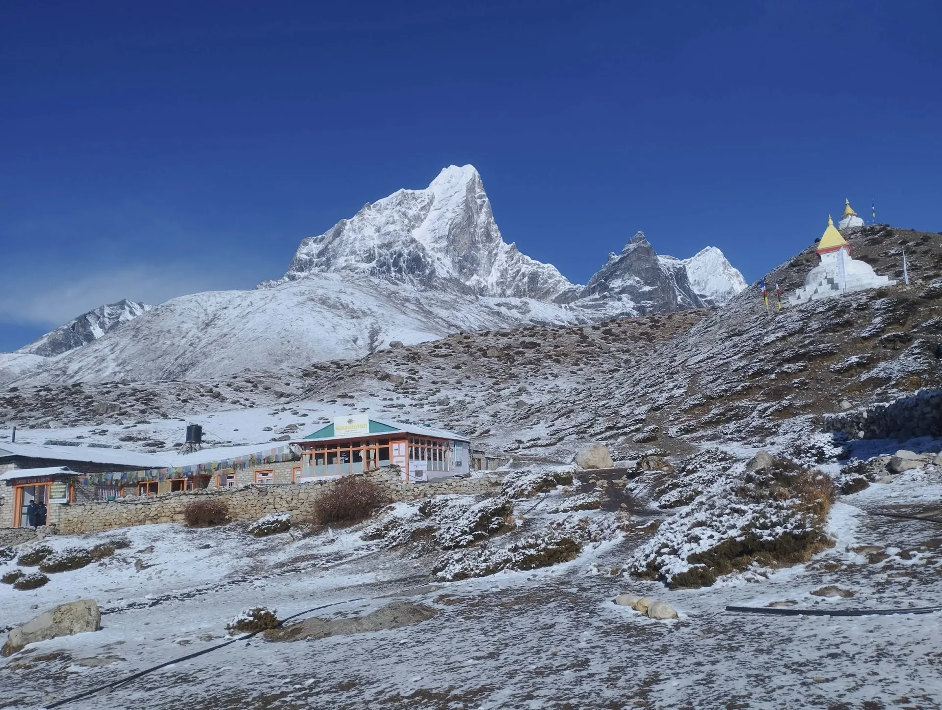
To appreciate the staggering vertical scale of the Khumbu, compare Everest Base Camp and Kala Patthar to famous mountain summits around the globe:
| Peak / Landmark | Location | Elevation (m / ft) | Comparison to Everest Base Camp (5,364m) |
|---|---|---|---|
| Mount Fuji | Japan | 3,776 m (12,389 ft) | EBC is 1,588m higher than Fuji's summit! |
| Pikes Peak | Colorado, USA | 4,302 m (14,115 ft) | EBC is 1,062m higher than Pikes Peak summit |
| Mount Whitney | California, USA (Highest in lower 48) | 4,421 m (14,505 ft) | EBC is 943m higher than the highest peak in continental US |
| Mont Blanc | France / Italy (Highest in Alps) | 4,810 m (15,781 ft) | EBC is 554m higher than the highest summit in Western Europe |
| Everest Base Camp (EBC) | Khumbu, Nepal | 5,364 m (17,598 ft) | The Target of Your Trek |
| Kala Patthar Summit | Khumbu, Nepal | 5,545 m (18,192 ft) | Highest viewpoint on the standard classic trek |
| Mount Kilimanjaro | Tanzania (Roof of Africa) | 5,895 m (19,341 ft) | Kilimanjaro summit is 350m higher than Kala Patthar |
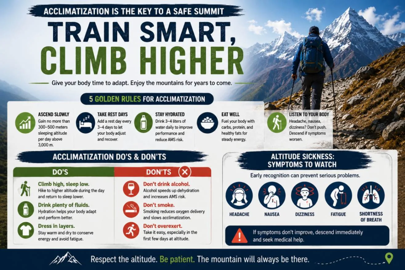
9. The 500-Meter Sleeping Rule: Why Rest Days Are Scheduled Where They Are
The Wilderness Medical Society (WMS) establishes a fundamental clinical guideline for high altitude mountaineering:
"Above 3,000 meters, do not increase your sleeping elevation by more than 300 to 500 meters per day, and include an extra rest day for every 1,000 meters of cumulative gain."
Examining the standard itinerary reveals how precisely this medical protocol is built into the route:
- Lukla to Namche: Climb from 2,846m to 3,440m (+594m). Because this crosses 3,000m, Day 3 is immediately scheduled as an acclimatization rest day in Namche.
- Namche to Tengboche: Climb from 3,440m to 3,867m (+427m). Safely within the 500m window.
- Tengboche to Dingboche: Climb from 3,867m to 4,410m (+543m). Crossing 4,000m triggers the mandatory Day 6 acclimatization rest day in Dingboche.
- Dingboche to Lobuche: Climb from 4,410m to 4,940m (+530m). A measured, gradual jump.
10. Medications at Elevation: Diamox, Dexamethasone & Ibuprofen
Navigating pharmaceuticals at high altitude requires medical accuracy:
Diamox (Acetazolamide) — Preventative
- Mechanism: Carbonic anhydrase inhibitor. Acidifies the blood, forcing you to breathe deeper while sleeping and preventing Cheyne-Stokes periodic breathing.
- Standard Dosage: 125mg orally twice daily (morning and evening), starting 24 hours before ascending past Namche Bazaar.
- Side Effects: Harmless tingling sensations (paresthesia) in fingers and toes; increased urination; carbonated drinks taste flat.
Emergency Meds (Rescue Only)
- Dexamethasone (Steroid): Used strictly for severe cerebral edema (HACE) to reduce brain swelling during emergency descent. (4mg to 8mg stat).
- Nifedipine: Smooth muscle relaxant used to treat pulmonary edema (HAPE) by reducing pulmonary artery pressure.
- Ibuprofen: Safe and effective for treating mild tension headaches caused by altitude vasodilation.
11. The Descent Phenomenon: How Quickly Does the Body Recover?
One of the most remarkable physiological experiences of the trek is the instantaneous relief of descending.
On Day 9, after standing on the freezing 5,545-meter summit of Kala Patthar, you descend 1,305 vertical meters down to Pheriche (4,240m) in just 3 hours. Within 60 minutes of dropping below 4,500 meters:
- Throbbing altitude headaches vanish as intracranial pressure normalizes.
- Resting oxygen saturation leaps from 74% back up to 88%+.
- Nausea dissipates and a roaring appetite returns.
- Deep, unbroken sleep is restored.
By the time you walk into Namche Bazaar (3,440m) on Day 10, your body—now packed with millions of newly synthesized red blood cells—feels virtually superhuman in the dense pine valley air.
12. Elevation Profiles of EBC Route Variants (Gokyo & Three Passes)
If you are considering alternate routes into the Everest region, here is how their maximum elevation and high pass profiles compare:
| Route Variant | Maximum Elevation | Major High Pass Crossings | Altitude Difficulty Level |
|---|---|---|---|
| Classic Everest Base Camp | 5,545 m (Kala Patthar) | None (Valley moraine trail) | Strenuous (Gradual ascent) |
| Gokyo Lakes & Cho La Pass | 5,420 m (Cho La Pass) / 5,357m (Gokyo Ri) | Cho La Pass (5,420m glaciated pass) | Challenging (Longer exposure above 4,700m) |
| Everest Three Passes Trek | 5,545 m (Kongma La Pass) | Renjo La (5,360m), Cho La (5,420m), Kongma La (5,545m) | Extreme (Three passes above 5,300m) |
| Everest View Trek | 3,880 m (Hotel Everest View) | None (Remains below high alpine zone) | Moderate (Very low AMS risk) |
13. Top 5 Altitude Myths Debunked by Sherpa Guides
Myth 1: "Fitness Prevents Altitude Sickness"
FALSE. Numerous scientific studies show zero correlation between VO2 max and susceptibility to AMS. Elite marathon runners get altitude sickness at the exact same statistical rate as weekend walkers. Acclimatization is genetic and physiological, not muscular.
Myth 2: "Drinking Alcohol Helps You Sleep"
FALSE. Alcohol is a respiratory depressant that suppresses breathing rate during the night, causing your blood oxygen levels to plummet into dangerous hypoxemic levels while asleep.
Myth 3: "Diamox Masks Severe Symptoms"
FALSE. Diamox accelerates true physiological acclimatization by stimulating deeper respiration. If you develop serious HAPE or HACE, Diamox will not conceal the symptoms.
Myth 4: "You Can Power Through It"
DANGEROUSLY FALSE. Pushing uphill through severe altitude headaches and vomiting can trigger fatal cerebral or pulmonary edema within hours. The only cure for severe altitude sickness is immediate descent.
Frequently Asked Questions About EBC Elevation
Select a category below to explore expert answers to the most common questions travelers ask about Everest Base Camp Trek Elevation:
General & Planning
Ready to Experience the Himalayas?
Whether you are preparing for high-altitude trekking, cultural circuits, or alpine summit expeditions, start planning a bespoke journey tailored to your fitness, travel season, and style.