1. The Valley of Glaciers: Geography, Tamang Heritage & Resilient Rebirth
Tucked directly beneath the central Himalayan divide along the Tibetan border, the Langtang Valley is known as the "Valley of Glaciers". Protected within the 1,710-square-kilometer Langtang National Park (established in 1976 as Nepal's very first Himalayan national park), the region encompasses an astounding vertical rise from subtropical forests at 1,500 meters to the jagged glaciated summit of Langtang Lirung at 7,227 meters (23,711 feet).
Beyond its dramatic topography, Langtang is culturally captivating:
- Tamang & Tibetan Heritage: The local inhabitants are predominantly Tamang and Bhotia people whose ancestors migrated from southwestern Tibet over five centuries ago. Their dialect, distinctive woven woolen garments, and practice of Nyingma Tibetan Buddhism remain deeply preserved.
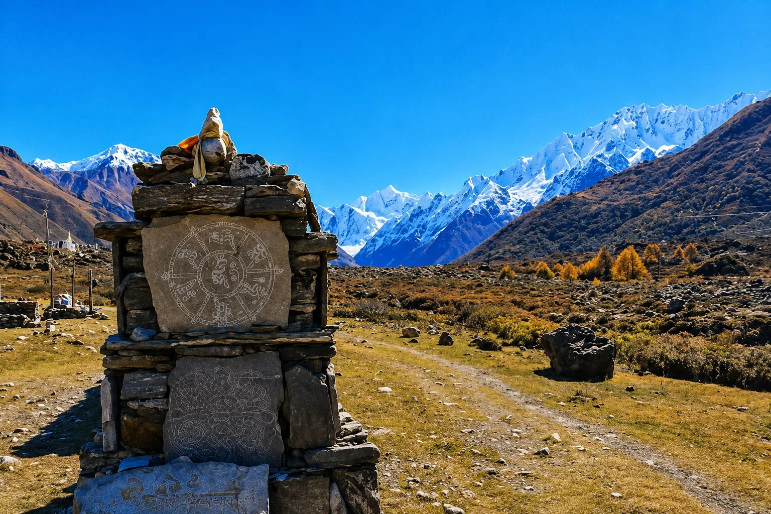
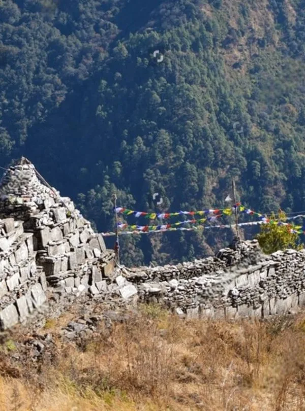
- Spiritual Landmarks: The valley is adorned with hundreds of hand-carved stone Mani walls, spinning water-powered prayer wheels, and chortens that line ancient trading tracks.
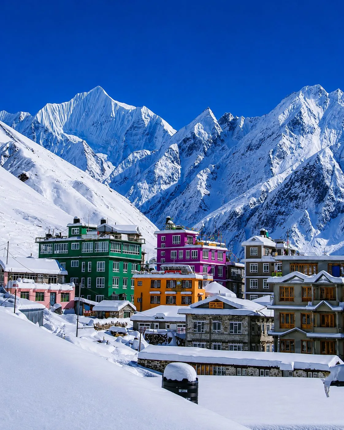
- The Resilient Rebirth of Langtang: In April 2015, a massive earthquake triggered an avalanche of ice and rock that destroyed the original Langtang Village. Today, through sheer grit and resilience, the community has completely rebuilt a vibrant, safe new settlement with modern stone lodges, solar power, and community schools—welcoming international travelers with immense warmth.
2. Permits, Regulations & Mandatory Guide Rules for Langtang
Unlike restricted regions such as Manaslu or Upper Mustang that require expensive Restricted Area Permits (RAP), trekking in the Langtang Valley is administrative straightforward, requiring standard conservation documentation:
Required Official Permits
- Langtang National Park Entry Permit: NPR 3,000 + 13% VAT = NPR 3,390 (~$26 USD) per person. Obtained in Kathmandu (Nepal Tourism Board office) or at the park checkpost in Dhunche.
- TIMS Card (Trekkers' Information Management System): NPR 2,000 (~$15 USD) per person. Issued through certified agencies to register your safety details in Nepal's central rescue database.
Mandatory Guide Regulation
- Under the Nepal Tourism Board mandate, foreign trekkers entering Langtang National Park must be accompanied by a government-licensed trekking guide.
- Your guide handles daily checkpoint registrations at Dhunche, Syabrubesi, and Ghodatabela, monitors altitude safety, and arranges teahouse bookings during peak seasons.
3. Master 7-Day & 8-Day Langtang Valley Trek Itinerary Overview
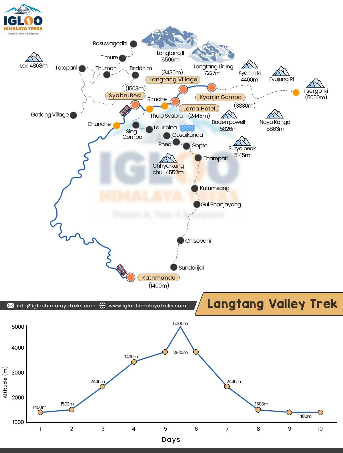
The classic Langtang Valley itinerary is structured over 7 to 8 days. It provides safe, steady altitude gains with a built-in acclimatization exploration day at Kyanjin Gompa:
| Day | Trek Route & Milestones | Starting & Target Altitude | Distance & Walking Time | Highlights & Acclimatization Focus |
|---|---|---|---|---|
| Day 01 | Kathmandu to Syabrubesi | 1,400m → 1,503m | 122 km · 6–7 hrs drive | Scenic drive via Trishuli Bazaar and Dhunche with Ganesh Himal views |
| Day 02 | Syabrubesi to Lama Hotel | 1,503m → 2,470m | 11.5 km · 5.5 hrs | Cross Bhote Koshi; follow Langtang Khola canyon through oak and bamboo forests |
| Day 03 | Lama Hotel to Langtang Village | 2,470m → 3,430m | 14.8 km · 6 hrs | Pass Ghodatabela checkpost; valley broadens; reach rebuilt Langtang Village |
| Day 04 | Langtang Village to Kyanjin Gompa | 3,430m → 3,870m | 6.5 km · 3.5 hrs | Gentle high-alpine walk past Mani walls to Kyanjin; visit Yak Cheese Factory |
| Day 05 | Kyanjin Ri (4,773m) or Tserko Ri (4,984m) | 3,870m ↔ 4,773m / 4,984m | 6–14 km · 4–7 hrs | Acclimatization summit day; 360° panoramic views of Langtang Lirung & Tibet |
| Day 06 | Kyanjin Gompa to Lama Hotel | 3,870m → 2,470m | 21.3 km · 6 hrs | Downhill descent through alpine pastures and forests; rapid easy walking |
| Day 07 | Lama Hotel to Syabrubesi | 2,470m → 1,503m | 11.5 km · 4.5 hrs | Descend along the river to Syabrubesi; celebratory hot shower and dinner |
| Day 08 | Syabrubesi to Kathmandu | 1,503m → 1,400m | 122 km · 6–7 hrs drive | Return overland drive by private jeep or bus to Kathmandu hotel |
4. Day 01: Kathmandu to Syabrubesi (1,503m) — The Scenic Mountain Road
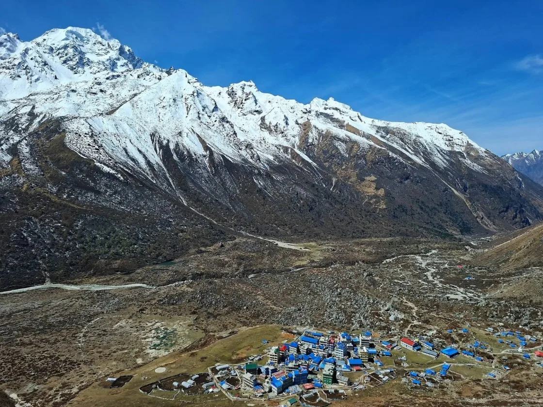
Your adventure begins with an early morning overland departure from Kathmandu. Unlike the flight to Lukla, the Langtang trek avoids airport weather delays entirely, utilizing a 122-kilometer road trip northwest across the central hills:
- The Route: Leaving Kathmandu via the Balaju bypass, the road descends toward the Trishuli River basin through lush terraced farmland and rural market towns.
- Dhunche Checkpost (1,960m): The administrative capital of the Rasuwa district. Here, your guide registers your permits with the Nepal Army and national park wardens, with majestic views of Ganesh Himal (7,422m) framing the northern skyline.
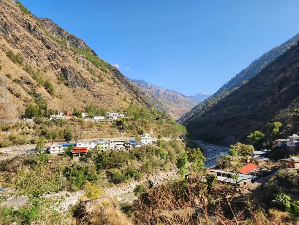
- Arrival in Syabrubesi (1,503m): A dramatic series of switchbacks brings you down to the confluence of the Bhote Koshi and Langtang Khola rivers. Syabrubesi is a vibrant Tamang hub featuring comfortable lodges, gear shops, hot showers, and Wi-Fi.
5. Day 02: Syabrubesi to Lama Hotel (2,470m) — Through the Lush River Canyon
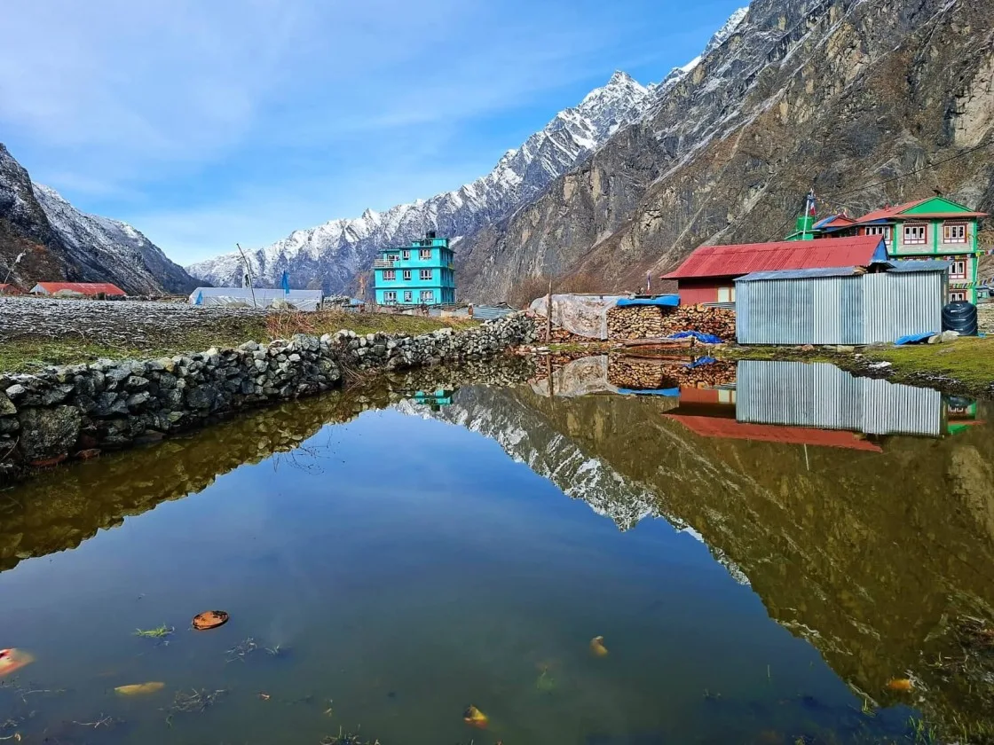
Lacing up your boots for the first walking day, you cross a long steel suspension bridge over the Bhote Koshi and immediately enter the deep, forested gorge of the Langtang Khola.
The trail climbs gently through dense subtropical forests of oak, moss-draped maple, and bamboo thickets:
- Wildlife Encounters: This rich forest canopy is home to gray langur monkeys, Himalayan black bears, musk deer, and the elusive Red Panda (known locally as Habre).
- Midday Lunch at Bamboo (1,970m): A cluster of riverside teahouses nestled beside cascading waterfalls, perfect for a fresh Dal Bhat or vegetable noodle soup.
- The Climb to Rimche & Lama Hotel: Beyond Bamboo, the trail steepens into a series of stone switchbacks up to Rimche (2,400m), before leveling out into a tranquil forest clearing known as Lama Hotel (2,470m), where cozy wooden lodges sit surrounded by pine trees.
6. Day 03: Lama Hotel to Langtang Village (3,430m) — Entering the Alpine Valley
Departing Lama Hotel, the landscape undergoes a dramatic ecological transformation. As you gain altitude, the dense forest gives way to open alpine meadows, scrub juniper, and rushing glacial streams:
- Ghodatabela (3,030m): Meaning "Horse Stable", this open meadow was historically used to pasture mountain horses. An army checkpost verifies your permits before you step into the true high valley.
- Opening Vistas: For the first time, the massive ice-fluted southern face of Langtang Lirung (7,227m) bursts into view, towering thousands of meters directly above you.
- Reaching New Langtang Village (3,430m): Passing water-driven prayer wheels and dry-stone yak enclosures at Thangshyap and Chamki, you cross the solemn moraine memorial honoring the victims of the 2015 earthquake before arriving at the rebuilt village. Modern stone teahouses with solar dining rooms offer comfortable hospitality.
7. Day 04: Langtang Village to Kyanjin Gompa (3,870m) — The Glacial Amphitheater
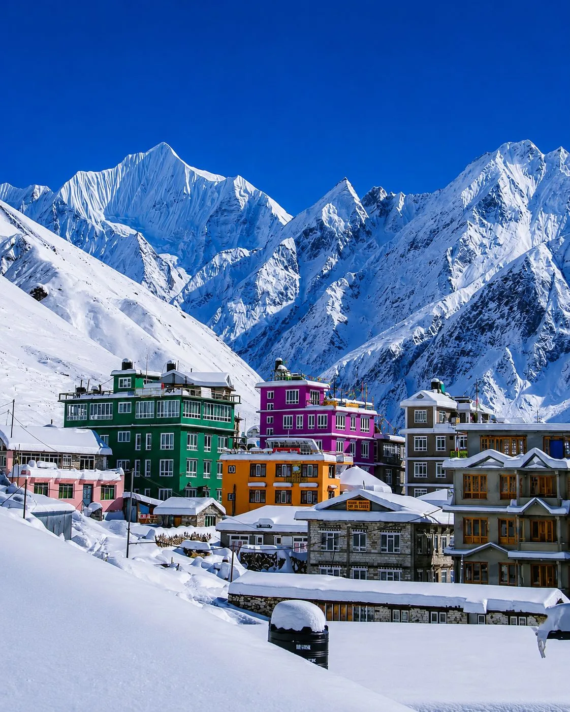
Day 4 is a shorter, scenic morning hike (6.5 km / ~3.5 hours) designed to allow your body to acclimatize safely as you approach the 4,000-meter threshold:
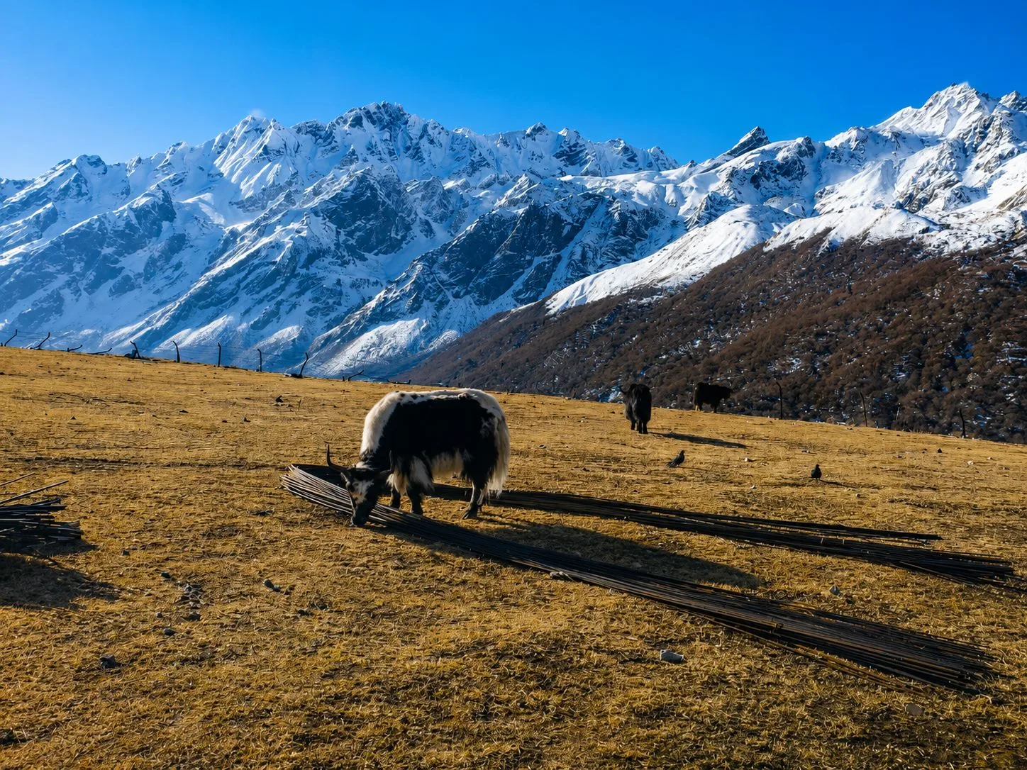
The trail winds through broad glacial moraines past Mundu and Sindum, flanked by the longest Mani walls in the region. Giant grazing yaks (*nak* cows and dzo hybrids) dot the meadows against a backdrop of hanging icefalls.
Arriving in Kyanjin Gompa (3,870m) by lunchtime, you are surrounded by a breathtaking amphitheater of mountains: Langtang Lirung, Kinshung, Yansa Tsenji, and Ganchenpo. The afternoon is spent exploring the sacred 300-year-old monastery, tasting freshly baked pastries at alpine bakeries, and visiting the historic Swiss-established Yak Cheese Factory.
8. Day 05: The Acclimatization Summit — Kyanjin Ri (4,773m) vs. Tserko Ri (4,984m)
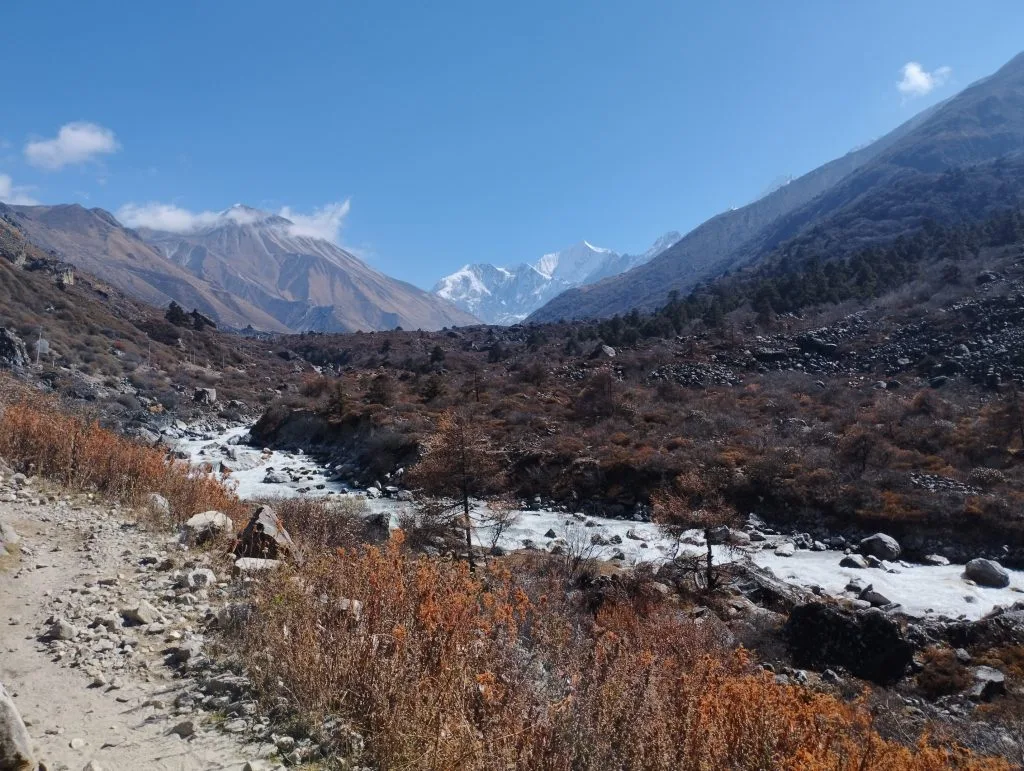
Day 5 is your dedicated summit and acclimatization day. Depending on your physical fitness and ambition, you choose between two legendary viewpoints rising directly above Kyanjin Gompa:
| Viewpoint Peak | Summit Altitude | Round-Trip Duration | Trail Character & Difficulty | Scenic View & Panorama Highlights |
|---|---|---|---|---|
| Kyanjin Ri (Lower & Upper) | 4,400m (Lower) / 4,773m (Upper) | 3.5 – 4.5 hours | Moderate; steep dirt and stone switchbacks; zero technical scrambling | Dramatic close-up look directly down into the blue ice of Langtang Glacier and Lirung Icefall |
| Tserko Ri (Cherko Ri) | 4,984m (16,351 ft) | 7 – 8.5 hours | Strenuous; alpine boulder hopping, high moraine ridges, sub-zero winds | Unmatched 360° Himalayan vista including Shishapangma (8,027m in Tibet), Dorje Lakpa, and Langshisha Ri |
9. Days 06 & 07: Kyanjin Gompa to Lama Hotel & Return to Syabrubesi
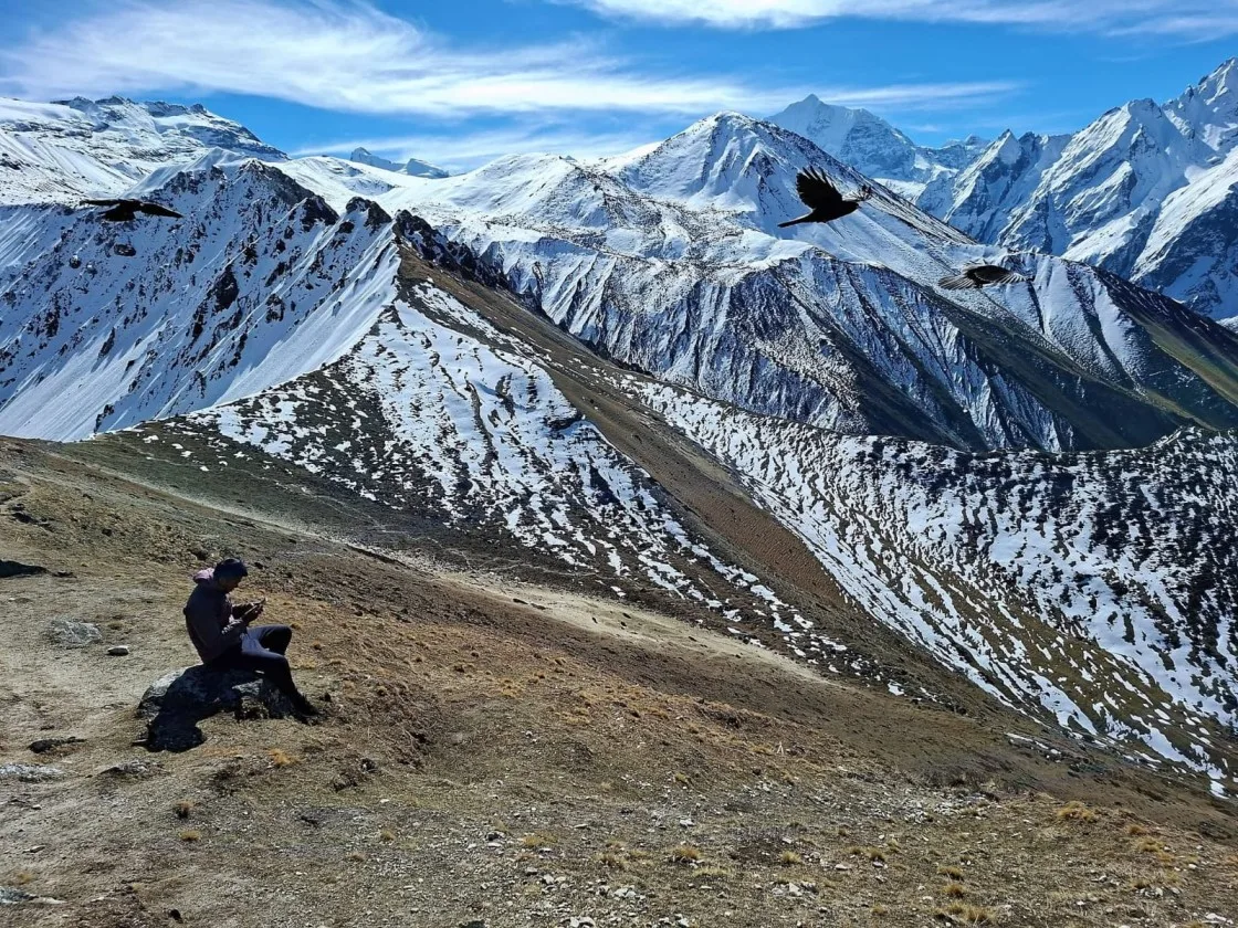
With the high summits accomplished, the journey turns down-valley:
- Day 06 (Kyanjin Gompa to Lama Hotel — 21.3 km / 6 hrs): Because you are descending over 1,400 meters of elevation, gravity and increasing atmospheric oxygen make walking feel remarkably effortless. Retracing your steps past Langtang Village, Ghodatabela, and back into the lush forest canopy, you arrive at Lama Hotel for a relaxing evening.
- Day 07 (Lama Hotel to Syabrubesi — 11.5 km / 4.5 hrs): Descending through Bamboo, you have the option of taking the river trail or taking the higher scenic detour through the traditional cultural village of Sherpa Gaon. Arriving back in Syabrubesi in the early afternoon, you celebrate your successful trek with a hot shower, cold beer, and a farewell dinner with your guide and porter.
10. Day 08: Syabrubesi to Kathmandu — Return Drive & Celebration
After breakfast at your Syabrubesi lodge, you board your return transport (private 4WD Mahindra Scorpio or express tourist bus) back to Kathmandu.
Climbing out of the valley past Dhunche, the return drive offers final sweeping views of the Ganesh Himal range before descending back into the Kathmandu Valley by mid-afternoon. Check into your hotel in Thamel, enjoy a soothing Ayurvedic massage, and celebrate an unforgettable Himalayan journey.
11. Extended Variations: Combining Langtang with Gosaikunda Lakes & Tamang Heritage
If you have additional days, the Langtang Valley easily connects into some of the most scenic extended circuits in Nepal:
Langtang & Gosaikunda Lakes (12–14 Days)
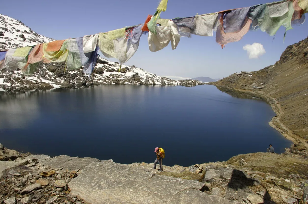
- From Rimche, turn south toward Thulo Syabru and climb through alpine rhododendron ridges to the sacred turquoise glacial lakes of Gosaikunda (4,380m).
- Cross the high Laurebina Pass (4,610m) and trek out through the scenic Helambu Valley back into Kathmandu.
Tamang Heritage Trail Combo (12–14 Days)
- Begin with a 5-day cultural loop through Gatlang, Tatopani natural hot springs, and Nagthali viewpoint before joining the main Langtang route at Syabrubesi.
- Features homestays, traditional dances, and intimate Tibetan border village hospitality.
12. Acclimatization Strategy & Preventing Altitude Sickness in Langtang
Although Langtang has a lower peak sleeping altitude than Everest Base Camp (Kyanjin Gompa sits at 3,870m compared to Gorak Shep's 5,164m), ascending from Syabrubesi (1,503m) to Kyanjin Gompa in just three days means you climb over 2,300 vertical meters.
To prevent Acute Mountain Sickness (AMS):
- Pace Yourself: Hike at a steady, rhythmic pace ("bistari, bistari"—slowly, slowly). Never rush ahead on uphill forest sections.
- Hydrate Diligently: Drink 3.5 to 4 liters of purified water or hot herbal tea daily to counter the dehydrating effects of high-altitude hyperventilation.
- Honor the Acclimatization Day: Never skip Day 5 at Kyanjin Gompa. Climbing high to Kyanjin Ri (4,773m) and sleeping low at Kyanjin Gompa (3,870m) perfectly stimulates your body to produce extra red blood cells.
13. Teahouse Life, Food & The Famous Swiss-Established Yak Cheese Factory
Teahouses in the Langtang Valley offer a wonderful blend of authentic hospitality, warm dining rooms, and delicious food:
The Historic Kyanjin Yak Cheese Factory
In 1955, Swiss dairy expert Werner Schulthess, working with the UN Food and Agriculture Organization (FAO), established Nepal's very first high-altitude cheese factory at Kyanjin Gompa. Today, local herdsmen bring fresh milk from hundreds of free-grazing *naks* (female yaks) every morning to produce rich, semi-hard Gruyère-style Himalayan yak cheese. Savoring freshly cut yak cheese with warm Tibetan bread at 3,870 meters is an unforgettable trail tradition.
Trail Nutrition & Amenities
- Local Delicacies: Enjoy unlimited servings of freshly prepared Dal Bhat, steaming bowls of Sherpa potato stew (*shyakpa*), handmade vegetable momos, and garlic soup.
- Hot Showers & Charging: Gas geyser showers ($3–$5 USD) and solar device charging ($2–$3 per power bank) are available in teahouses.
- Mobile Connectivity: Nepal Telecom (Namaste) offers reliable 4G data in Syabrubesi, Lama Hotel, and Langtang Village, with intermittent coverage at Kyanjin Gompa.
14. Optimal Weather Calendar: Spring Rhododendrons vs. Autumn Clarity
Selecting the ideal month ensures optimal views, comfortable trail conditions, and pleasant teahouse stays:
| Season | Months | Day / Night Temperature | Visibility & Photography | Trail Atmosphere |
|---|---|---|---|---|
| Autumn (Peak) | Oct – Nov | 12°C to 18°C / -2°C to -8°C | Exceptional crystal-clear skies; sharp mountain panoramas | Peak trekking season; lively teahouses; dry trails |
| Spring (Peak) | March – May | 14°C to 20°C / 0°C to -5°C | Clear mornings; lush green canyons; wild rhododendrons | Vibrant flora, active wildlife, pleasant daytime walking |
| Winter (Clear & Cold) | Dec – Feb | 5°C to 10°C / -10°C to -18°C | Pristine blue skies; snow-covered peaks; sharp light | Peaceful solitude; sub-zero nights; some upper lodges close |
| Monsoon (Off-Season) | June – Aug | 18°C to 24°C / 8°C to 12°C | Cloudy peaks; heavy rains; roaring waterfalls | Leeches on lower trails; slippery paths; road delays |
15. Complete Budgeting & Cost Breakdown (2026–2027)
The Langtang Valley Trek is renowned as one of Nepal's most cost-effective Himalayan routes because it requires no expensive domestic flights or restricted area permits:
| Expense Category | Estimated Cost (USD) | Frequency | Details & Notes |
|---|---|---|---|
| Langtang National Park Permit | ~$26 USD (NPR 3,390) | One-time | Mandatory national park fee collected at entry checkpoints |
| TIMS Card | ~$15 USD (NPR 2,000) | One-time | Central hiker registration and rescue database record |
| Licensed Guide Fee | $30 – $35 / day | Daily | Includes guide wage, food, accommodation, and insurance |
| Porter Fee (Optional) | $20 – $25 / day | Daily | Carries up to 20kg (shared between two hikers) |
| Private 4WD Scorpio Jeep | $140 – $170 one-way | Per vehicle | Comfortable direct transfer (seats up to 6 passengers) |
| Public Express Bus | $10 – $14 / seat | One-way | Budget overland option departing Gongabu Bus Park |
| Daily Teahouse Food & Room | $30 – $40 / day | Daily | Twin room, three hearty meals, hot tea, and drinking water |
Frequently Asked Questions (FAQ) About Langtang Valley Trek Itinerary
Select a category below to explore expert answers to the most common questions travelers ask about Langtang Valley Trek Itinerary:
Difficulty & Fitness
Ready to Experience the Himalayas?
Whether you are preparing for high-altitude trekking, cultural circuits, or alpine summit expeditions, start planning a bespoke journey tailored to your fitness, travel season, and style.