
1. The Late Monsoon 2026 Extreme Weather Event: What Actually Happened?
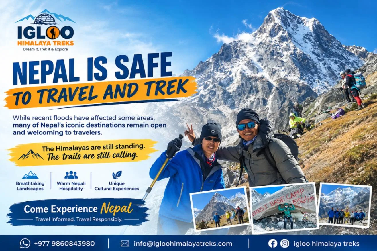
In late September 2026, a rare meteorological convergence took place over the central and eastern Himalayas. A low-pressure monsoon depression pushing north from the Bay of Bengal collided with an advancing cold westerly wind system over central Nepal, triggering intense, unseasonal torrential rainfall over a 48-to-72-hour window.
Localized weather stations in the Kathmandu Valley, Kavrepalanchok, Makwanpur, and Dhading recorded rainfall exceeding 300 to 450 millimeters in just two days—shattering 50-year precipitation records. The primary consequences of this extreme rainfall event were:
- Urban Lowland Swells: Swelling of the Bagmati, Bishnumati, and Hanumante rivers, which inundated low-lying floodplains and riverside settlements in the Kathmandu Valley.
- Highway Landslides: Mudslides and slope failures along vulnerable hill road cuttings, temporarily blocking sections of the Prithvi Highway, Tribhuvan Highway, and BP Highway.
- High-Altitude Alpine Preservation: Crucially, above 3,500 to 4,000 meters in the high Himalayas, freezing atmospheric temperatures meant precipitation fell predominantly as snow rather than rain. As a result, upper trekking circuits were largely spared from the torrential soil liquefaction and flash flooding seen in the low foothills.
2. Master Trail Status Dashboard: Which Regions Are Open, Affected or Rerouted?
Below is our ground-verified operational dashboard across all major trekking regions of Nepal as of October 2026:
| Trekking Region | Trail Status | Highway / Flight Access | Safety Condition & Notes |
|---|---|---|---|
| Everest (Khumbu) | ● 100% OPEN | Flights from Ramechhap / Kathmandu operating normally | Zero structural trail damage; all 12 suspension bridges intact; peak autumn conditions |
| Annapurna Sanctuary (ABC) | ● 100% OPEN | Prithvi Highway cleared; Pokhara flights operating daily | Modi Khola riverbed stabilized; trails between Bamboo, Deurali, and ABC cleared |
| Annapurna Circuit | ● 100% OPEN | Besisahar road open; 4WD jeeps operating to Chame/Dharapani | Thorong La Pass (5,416m) open and dry; Muktinath and Jomsom fully accessible |
| Mardi Himal & Poon Hill | ● 100% OPEN | Highway access from Pokhara fully open | Ridge-based trails completely unaffected by river flooding; excellent visibility |
| Langtang Valley | ● OPEN (Active Access) | Pasang Lhamu Highway to Syabrubesi restored | Upper valley (Lama Hotel to Kyanjin Gompa) intact; roadhead bypass active near Timure |
| Manaslu Circuit & Tsum | ● OPEN (Guided Only) | Kathmandu to Machha Khola road open via 4WD | Budhi Gandaki canyon suspension bridges checked; wooden bypasses installed where needed |
| Upper Mustang & Dolpo | ● 100% OPEN | Jomsom flights and 4WD overland tracks operating | Trans-Himalayan rain-shadow; zero monsoon flood impact; dry desert conditions |
3. Everest (Khumbu) Region Status: Lukla Flights, Bridges & High Trails
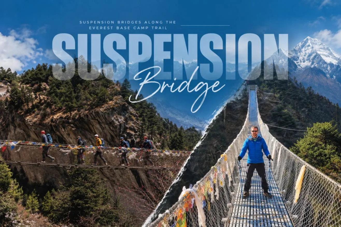
International media images of inundated city streets in Kathmandu led many travelers to assume the Everest Base Camp trail was cut off. In reality, the Khumbu Valley is one of the least affected regions in all of Nepal:
- High Elevation Advantage: The EBC trail begins at Lukla at 2,846 meters and climbs above 5,300 meters. These elevations sit thousands of feet above the low river basins that experienced flash flooding.
- Suspension Bridge Resilience: Every major suspension bridge on the trail—from Toktok and Phakding up to the famous double-tiered Hillary Suspension Bridge—hangs 30 to 130 meters above the Dudh Koshi river bed, anchored into massive granite bedrock. Not a single main bridge suffered structural impairment.
- Aviation Operations: Flight corridors from Kathmandu and Manthali (Ramechhap) Airport to Lukla operate continuously during clear morning windows. Teahouses in Namche, Tengboche, Dingboche, and Gorak Shep are fully operational with standard food and lodge supplies.
4. Annapurna Region: Sanctuary (ABC), Mardi Himal & Circuit Trail Conditions
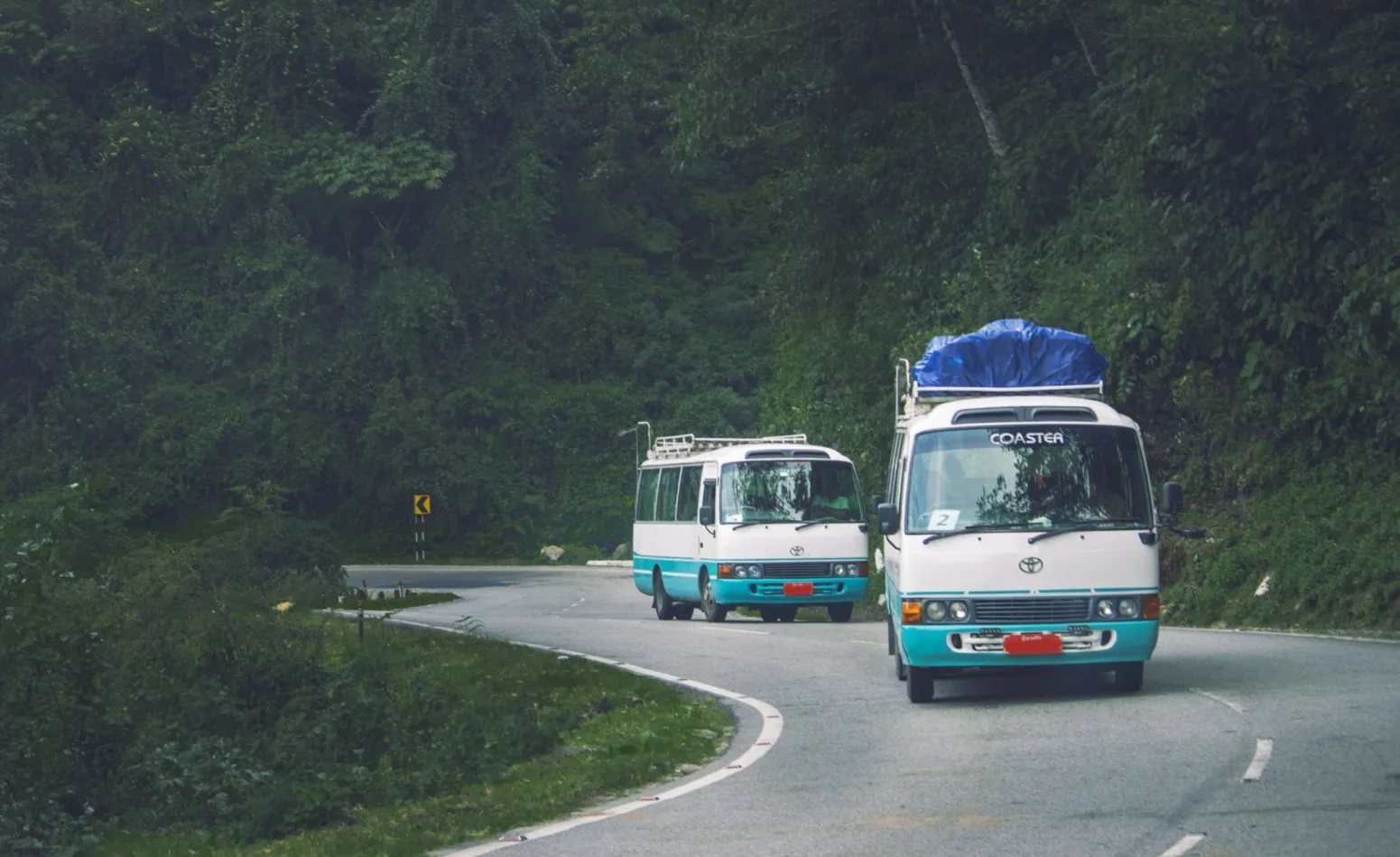
The Annapurna region encompasses vast geographical diversity. Following the September storms, trail management teams and the Annapurna Conservation Area Project (ACAP) conducted thorough physical safety inspections:
Annapurna Base Camp (ABC)
- The lower gorge along the Modi Khola river between Bamboo, Dovan, and Deurali experienced river swells that deposited gravel along low crossings.
- Local lodge committees quickly laid raised wooden duckboards and stone causeways over damp sections.
- The upper glacial amphitheater from Machapuchare Base Camp (3,700m) to Annapurna Base Camp (4,130m) is completely pristine, offering clear panoramic views of Annapurna I and Fishtail.
Mardi Himal & Poon Hill
- Because Mardi Himal and Ghorepani Poon Hill are ridge-line treks that follow elevated mountain crests rather than deep river canyons, they suffered virtually zero flood impact.
- Trails from Kande, Australian Camp, Forest Camp, High Camp, and Poon Hill are completely dry and unobstructed.
5. Langtang Valley & Rasuwa: Bhote Koshi River Surge & Trail Access
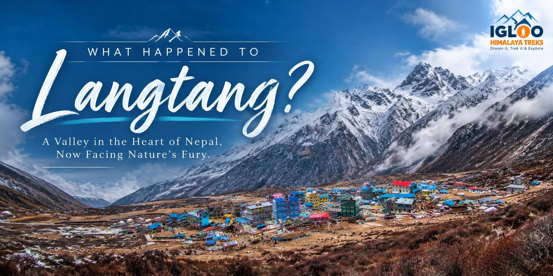
The Rasuwa district, which serves as the gateway to the Langtang Valley, experienced localized flash surges along the Bhote Koshi River near the Nepal-China border post of Timure and sections of the lower access highway.
It is essential to differentiate between the border highway and the actual trekking route:
- The Trekking Trail: The traditional hiking trail begins at Syabrubesi (1,503m) and climbs steadily up the forested Langtang Khola canyon through Bamboo, Rimche, Lama Hotel, Ghodatabela, Langtang Village, and Kyanjin Gompa (3,870m). This high valley trail remains structurally safe and undamaged.
- Road Access Restoration: Within days of the flash surge, the Nepal Army and local Department of Roads mobilised heavy excavators to clear mud debris and reopen the highway from Kathmandu through Trishuli and Dhunche to Syabrubesi. Four-wheel-drive jeeps are operating regular passenger runs.
6. Manaslu Circuit & Tsum Valley: Canyon Bridges & Temporary Reroutes
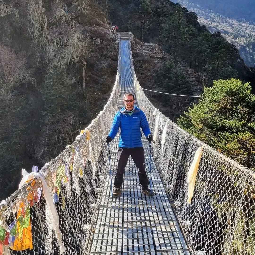
The Manaslu Circuit is famous for traversing the dramatic, gorge-like defile of the Budhi Gandaki River. The lower sections between Machha Khola, Tatopani, Dobhan, and Jagat feature towering vertical rock walls where seasonal torrents occasionally undermine low riverside paths.
During the late-monsoon surge:
- Minor riverside stone paths near Dobhan experienced localized washouts.
- Local trail development committees, supported by the Manaslu Conservation Area Project (MCAP), immediately built elevated wooden cliffside galleries (cantilever pathways) and redirected traffic across high steel suspension bridges.
- The high-altitude section of the circuit—from Deng, Namrung, and Lho up to Samagaon (3,530m) and across Larkya La Pass (5,160m)—is in prime condition with clear alpine weather.
7. Trans-Himalayan Sanctuaries: Upper Mustang & Dolpo (Completely Unaffected)
For travelers concerned about rainfall or soil stability, Nepal's trans-Himalayan rain-shadow regions represent the ultimate weather sanctuary.
Geographically, Upper Mustang and Upper Dolpo lie directly north of the colossal Annapurna (8,091m) and Dhaulagiri (8,167m) massifs. These mountain barriers force moisture-laden monsoon clouds to dump their water on the southern slopes, leaving the northern plateau in an arid rain shadow that receives less than 250mm of total annual precipitation.
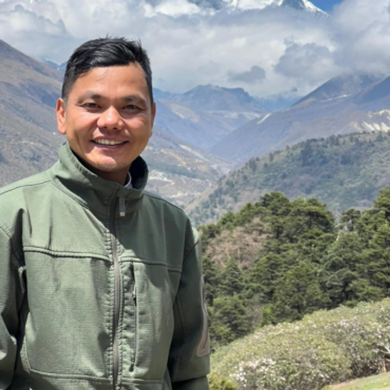
"While lowlands in central Nepal experienced heavy rainfall, Upper Mustang and Dolpo basked under clear cobalt skies and dry desert sunshine. Trails in Lo Manthang, Shey Gompa, and Phoksundo Lake were 100% untouched. If you seek absolute certainty against wet conditions, these restricted kingdoms are unbeatable." — Ang Tshering Sherpa
8. Road Access & Highway Recovery: Prithvi Highway & BP Highway Updates
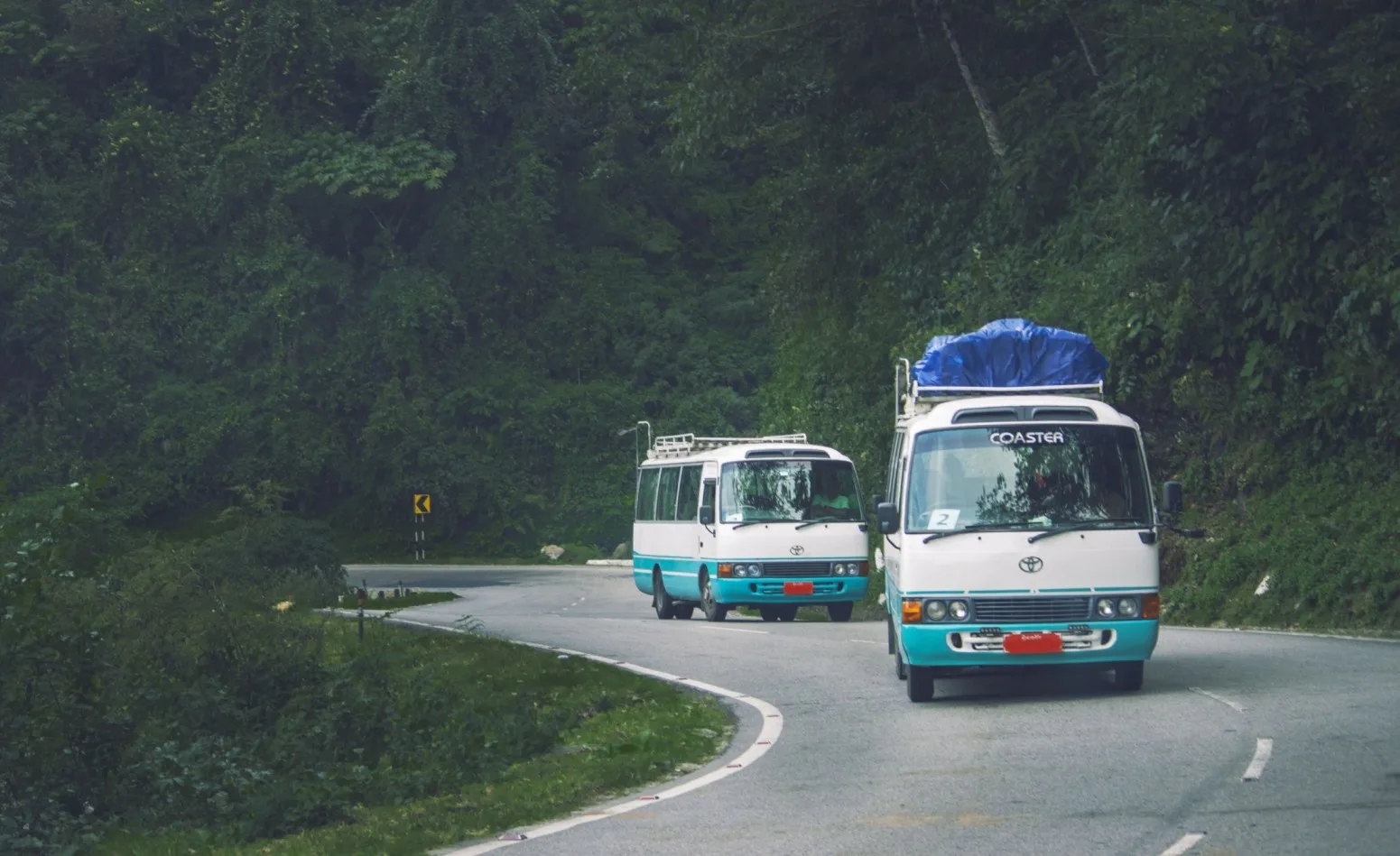
The most noticeable disruption from the late-monsoon storm occurred on the arterial highways connecting the Kathmandu Valley to regional provinces. Here is the operational status of key transit corridors:
- Prithvi Highway (Kathmandu ↔ Pokhara): The vital lifeline connecting Kathmandu to the Annapurna trailhead. Mudslide blockages near Naubise and Jhabrebhir were cleared within 48 to 72 hours. Deluxe tourist buses and private passenger vehicles are operating normal daily schedules.
- BP Highway (Kathmandu ↔ Ramechhap / Terai): Sustained riverbed erosion along the Roshi Khola in Kavrepalanchok. The Department of Roads engineered temporary diversion causeways and redirected passenger microbuses via the alternative Kanti Lokpath and Sindhuli corridors to ensure smooth transit for trekkers heading to Manthali Airport.
- Kathmandu ↔ Syabrubesi Highway: Cleared and operational for 4WD jeeps and local transport heading to the Langtang National Park checkpost.
9. Himalayan Engineering: How High-Altitude Suspension Bridges Withstand Floods
A common worry among prospective trekkers is the integrity of pedestrian suspension bridges across raging Himalayan torrents. However, Nepal's modern footbridge network is engineered to world-class civil standards:
- Bedrock Foundation Anchors: Developed in collaboration with Swiss development engineers (Helvetas) over four decades, high-altitude suspension bridges are anchored into solid granite and metamorphic bedrock using tensioned steel cables designed to support dozens of tons of dynamic load.
- High Elevation Abutments: Bridge piers are deliberately constructed 15 to 40 meters above historic hundred-year high-water marks, ensuring that even violent river surges pass safely beneath the walkway decks.
- Strict Maintenance Oversight: Local municipal engineering divisions and national park wardens inspect tension cables, wire-mesh side barriers, and anchor blocks prior to the opening of the peak autumn season.
10. Essential Safety Protocols: Navigating Active Mountain Terrain Post-Rain
While trails are safe and open, trekking responsibly in transitional post-monsoon conditions requires adherence to practical safety rules:
River & Waterway Caution
- Never Wade Across High Torrents: If a temporary wooden footlog has been dislodged, never attempt to ford a raging glacial creek on foot. Wait for your guide to evaluate or take an established suspension bridge detour.
- Water Purification: Post-rain river sediment increases water turbidity. Use a mechanical microfilter or allow sediment to settle before treating water with Aquatabs or UV purifiers.
Slope & Scree Management
- Landslide Zone Etiquette: When passing active scree sections (*gahiras*), maintain single-file spacing, keep your eyes on the upper slope, and never linger or stop to take photos under loose overhead rubble.
- Listen for Falling Stones: Remove headphones when crossing steep rocky ravines so you can immediately hear the warning clicks of rolling scree.
11. Why Trekking with a Licensed Sherpa Guide Is Non-Negotiable
Under changing weather patterns, the presence of a licensed, experienced mountain guide transforms your journey from an uncertain gamble into a well-managed expedition:
- Real-Time Trail Intelligence: Licensed Sherpa guides are constantly connected via mobile networks with lodge owners, fellow guides, and local porters ahead on the trail. They know the exact condition of every bridge and pass hours before you arrive.
- Knowledge of Alternate Ridge Routes: If a riverside path is muddy or undergoing maintenance, an experienced guide knows ancient ridge-top shepherd routes that bypass lower canyon choke points.
- Logistical Flexibility: In the rare event of a road delay or flight rescheduling, agency-supported guides have the authority and connections to re-route jeeps, secure priority helicopter seats, or modify teahouse bookings without leaving you stranded.
12. Travel Insurance Realities: Flood Delays, Itinerary Changes & Evacuation
Navigating travel insurance policies following weather events requires clarity on what is covered versus what is excluded:
| Scenario / Incident | Standard Policy Coverage | Insurance Claim Requirements |
|---|---|---|
| Medical Emergency (AMS, Injury) | COVERED | Requires medical assessment by licensed guide/doctor; covers helicopter evacuation and hospitalization up to 6,000m |
| Road Blockage / Trip Interruption | COVERED (on Comprehensive plans) | Reimburses unused hotel nights or extra lodging costs due to documented natural disasters / landslides |
| Missed International Flight due to Weather | COVERED | Requires written confirmation of flight/road cancellation from airline or road authority |
| Helicopter Transfer for Convenience | NOT COVERED | Insurers will strictly reject claims for helicopter transfers chosen simply to skip road traffic or catch flights without a medical emergency |
13. Tourism as Recovery: Why Canceling Your Trek Harms Local Communities
Whenever sensational international news reports depict floods or landslides in Nepal, well-meaning travelers often ask: "Should I cancel my trek out of respect for recovery efforts?"
The resounding answer from Himalayan communities is NO. The best way to help Nepal is to visit.
Mountain communities in Nepal earn virtually 80% of their annual household income during the brief autumn trekking season (October to November). Teahouse families, mountain porters, vegetable farmers, yak herders, and local guides rely on this income to buy winter provisions, pay children's school tuition, and repair infrastructure. Canceling your trip when trails are open and safe delivers a severe economic blow to the very families who need tourism revenue the most.
14. Gear Adjustments & Packing Checklist for Autumn 2026/2027
To ensure smooth and comfortable trekking following the late-monsoon transition, make these strategic additions to your standard packing list:
- Waterproof Duffle Liners & Dry Sacks: Pack all clothes and sleeping bags inside individual roll-top waterproof dry bags (Sea to Summit) inside your porter duffle. Duffle bags can get wet during transport or sudden shower bursts.
- Breathable Gaiters: Lightweight trekking gaiters prevent mud, damp gravel, and trail scree from entering your boots along lower river valleys.
- Trekking Poles with Rubber Tips: Essential for maintaining stability across wet stone steps, uneven mud crossings, and steep descents.
- Water Purification Multi-Pack: Bring both a mechanical water filter (Sawyer Squeeze) to filter out sediment and chlorine dioxide / Aquatabs tablets for complete viral/bacterial purification.
- Tough Ziploc Bags for Electronics: Protect smartphones, power banks, and camera batteries from humidity and moisture.
Frequently Asked Questions (FAQ) About Nepal Flood 2026 Trekking Safety
Select a category below to explore expert answers to the most common questions travelers ask about Nepal Flood 2026 Trekking Routes Affected:
General & Planning
Ready to Experience the Himalayas?
Whether you are preparing for high-altitude trekking, cultural circuits, or alpine summit expeditions, start planning a bespoke journey tailored to your fitness, travel season, and style.